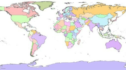
The effectiveness of geographic and mapping processes as part of a census has a strong impact on the quality and completeness of the data. This course centers on the following aspects of geographic processes for a population and housing census: geographic and cartographic terminology, administrative and census boundaries, data creation and topology, and maintaining a cartographic system.
Target Audience
This course is intended for employees of National Statistical Offices involved in conducting censuses or surveys.
Learning Objectives
This course will provide:
- An understanding of the importance of census cartography and geographic planning.
- Suggestions for how to structure ongoing cartographic support.
- An understanding of the organization of census geography.
- An ability to organize cartographic data and projects driven by cartographic data, on paper or digitally.
- Knowledge of cartographic terms and geographic concepts.
- An introduction to the integration of topology and census geography.


