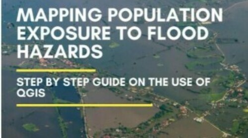
For illustrative purposes we have focused on one type of flood hazard, riverine floods and one geographical area, Lao People’s Democratic Republic. The maps generated are shown together with explanation of the applied methodology. The guide explains how to generate similar maps for hazard types and geographical areas of your own choosing.
The guide uses Copernicus Global Land Cover data, Census data and Administrative Boundaries data and Flood Hazard data to generate the maps shown. The guide explains the use of open-source software, namely Quantum Geographic Information System (QGIS) to construct the maps.

Related
Producing urban hot spot maps - Step by step guide on the use of QGIS
Resource
Document
Offered by:
ESCAP